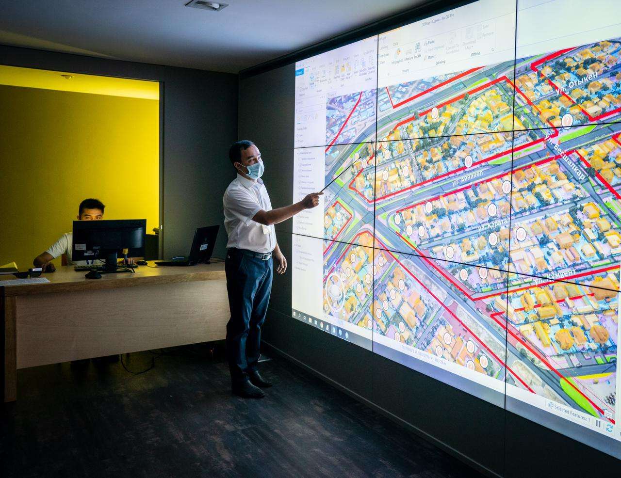
Designing geoinformation systems
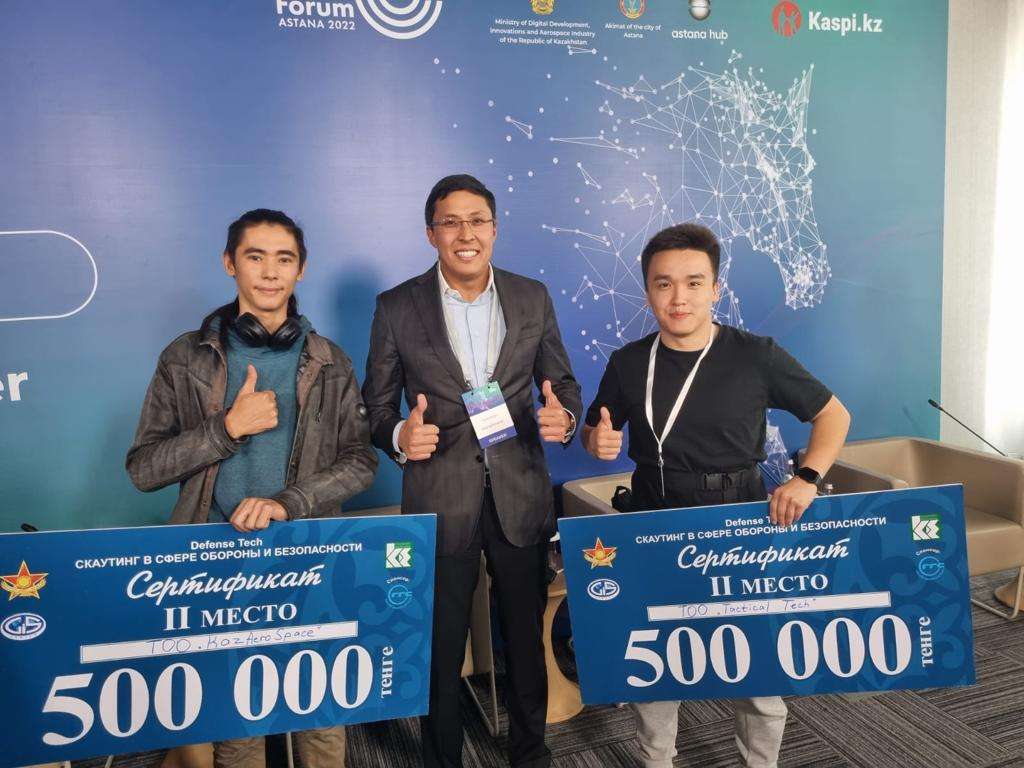
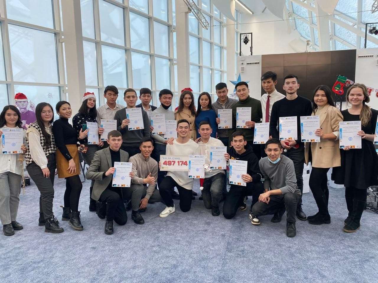
KazAeroSpace
Software Development
Software Development
about company
 KazAeroSpace

Our projects
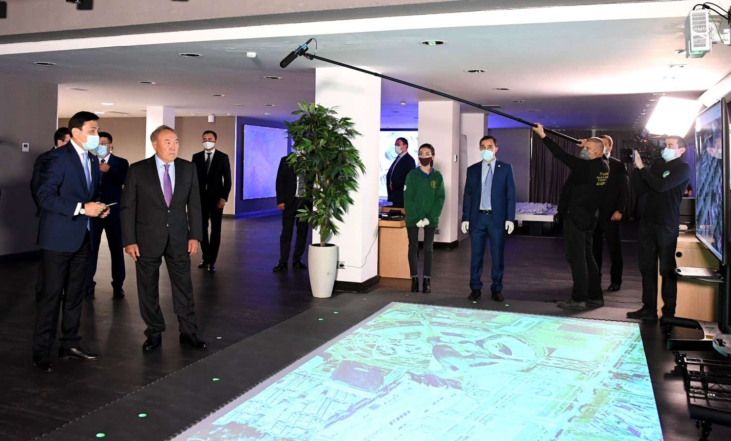
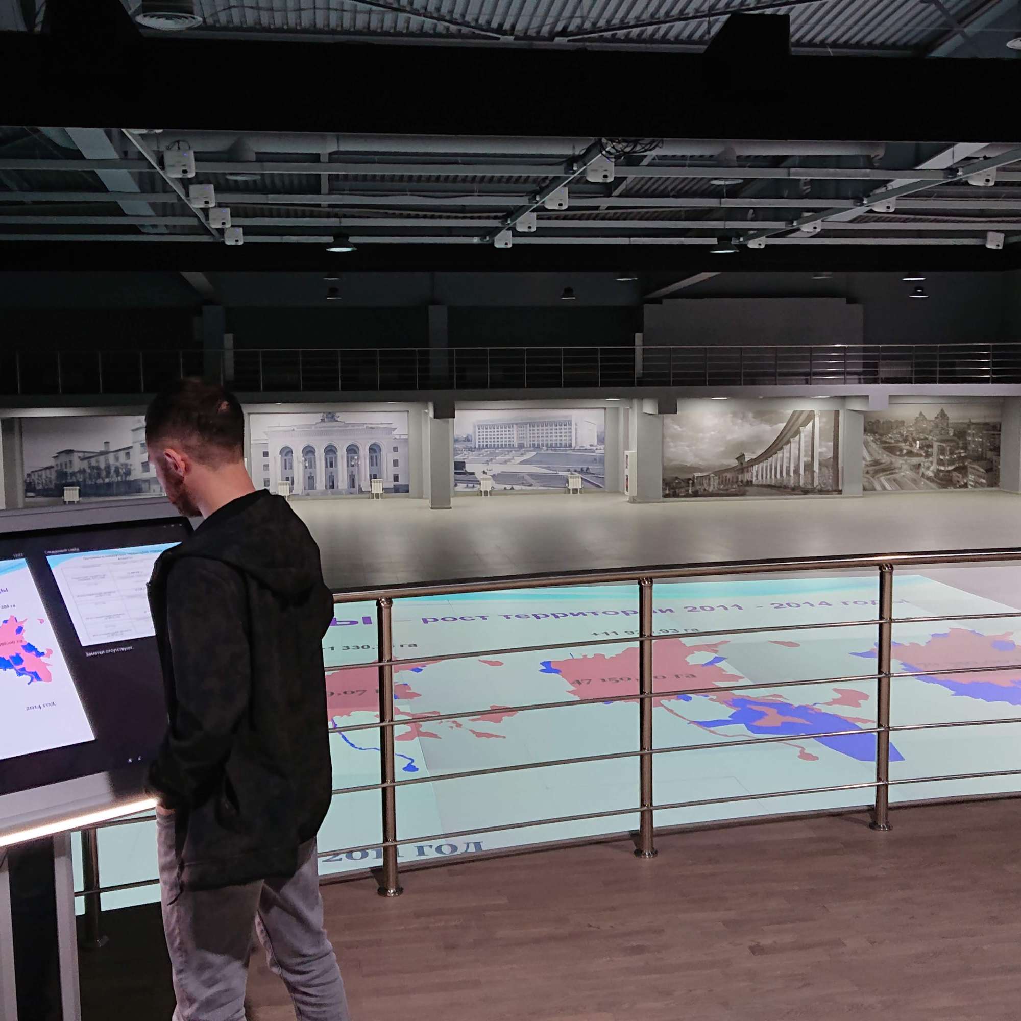
3D Геоинформационный центр
Technology characteristics VR is a completely virtual environment; AR – represents a real environment with virtual digital objects; MR is...
to the project
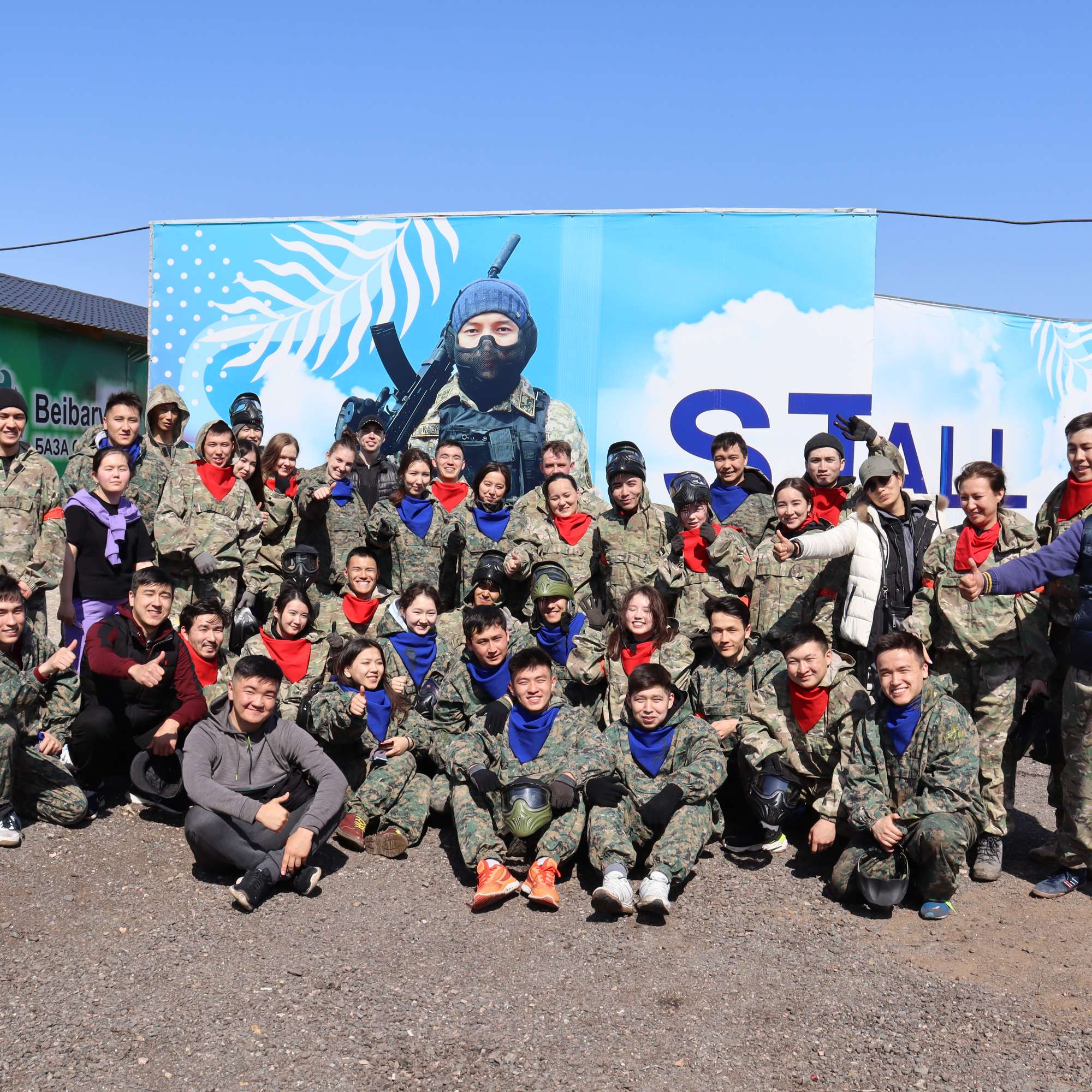
VR simulator simulation situations VR STRIKE
The simulator is designed to teach combat operations and basic tactics of combat, shooting, etc. The size of the...
to the projectCartography
Cartographic production uses a lot of space survey materials, achievements of automation and computer technology. The widespread use of...
to the projectAerial photography
Aerial photography is photographing a territory from a certain height from the Earth's surface using an aerial camera mounted...
to the project3D Holography
Similarly, consultation with a broad asset entails the process of introducing and modernizing the directions of progressive development. Everyday...
to the projectInnovative technologies
At the moment, there are predictions on innovative forecasts and technology development for the next hundred years.The study of...
to the projectDigital aeration in urban architecture
Numerically simulates unstable wind situations in urban areas or on difficult terrain in the city of Nursultan The module allows...
to the projectIdentification of areas of growth
From April to October 2016, a joint pilot project was conducted in South Kazakhstan and Kyzylorda regions by definition coordinates of...
to the projectServices

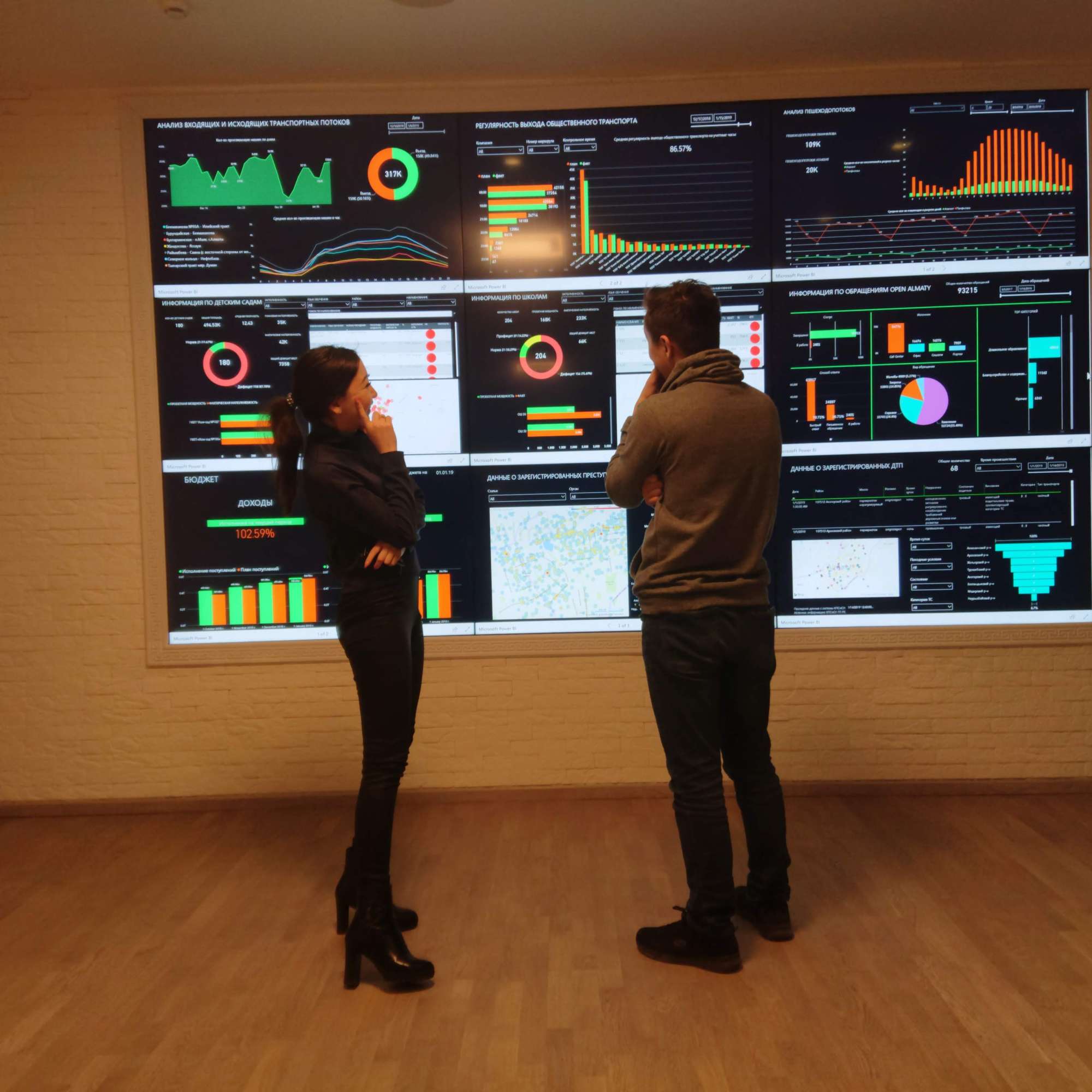
Creating a gis system
.png)
CAVE technologies, AR/VR/MR, holography

Aerospace monitoring
.png)
Satellite images of remote sensing of the Earth and aerial photography
.png)
Automation of public services
.png)
Software Development
partners


.png)
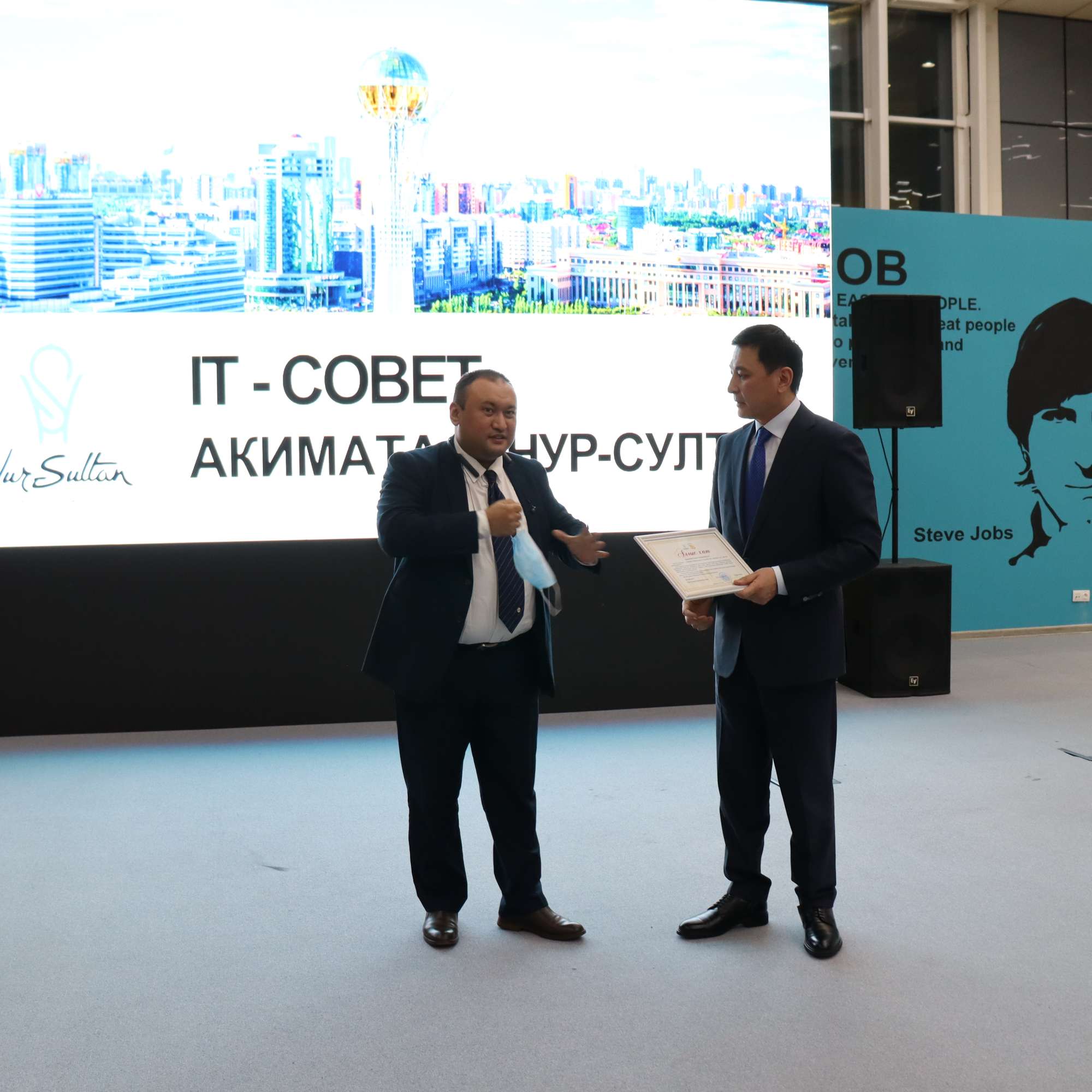
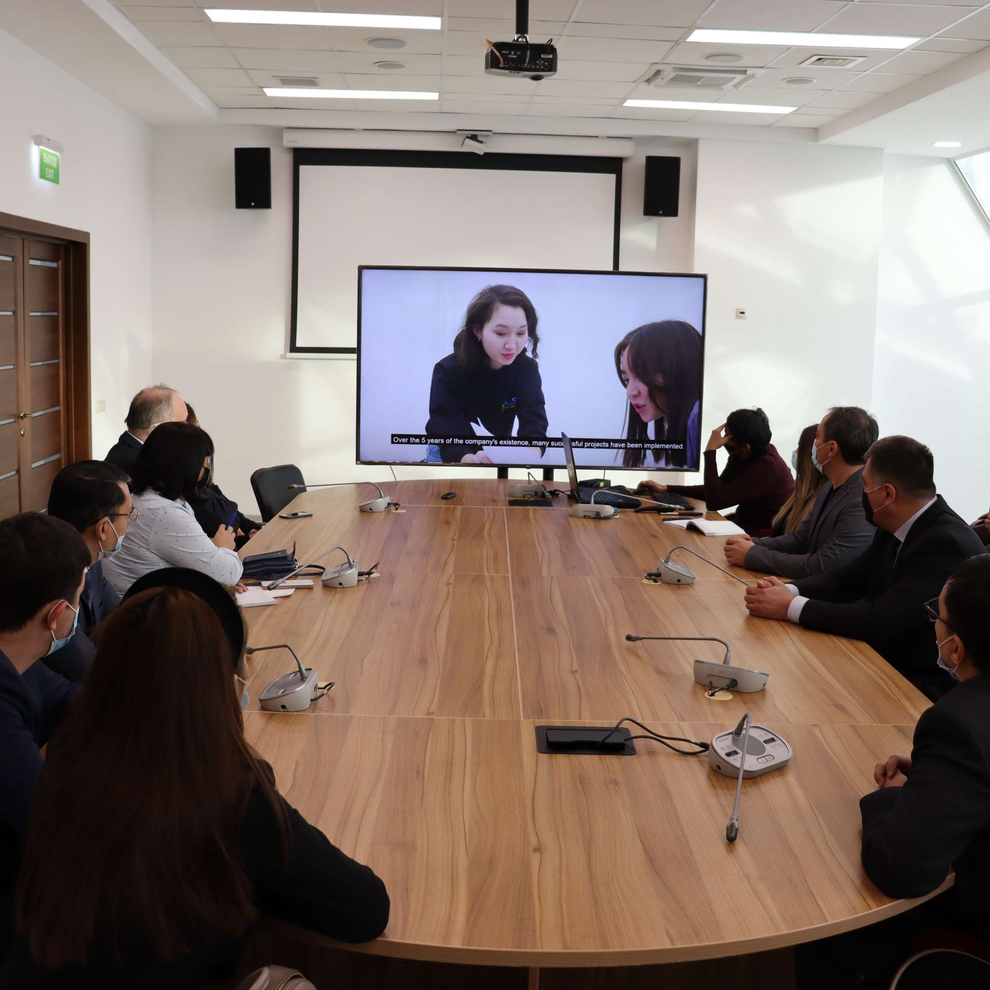
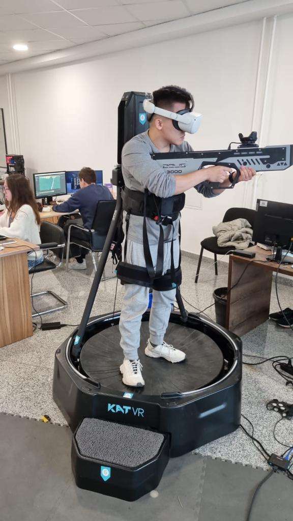
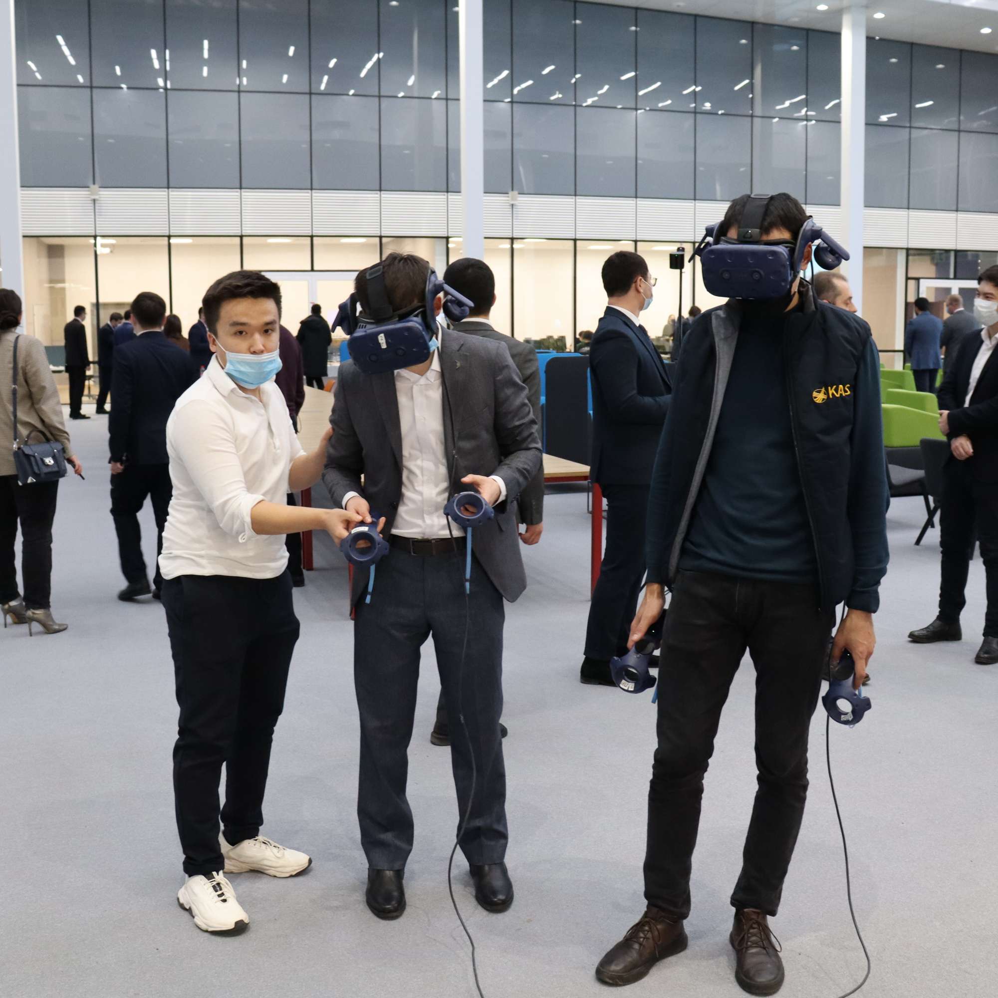
Gallery
.jpeg)

feedback
Leave your contacts and we will contact you
 Subscribe
 Subscribe